
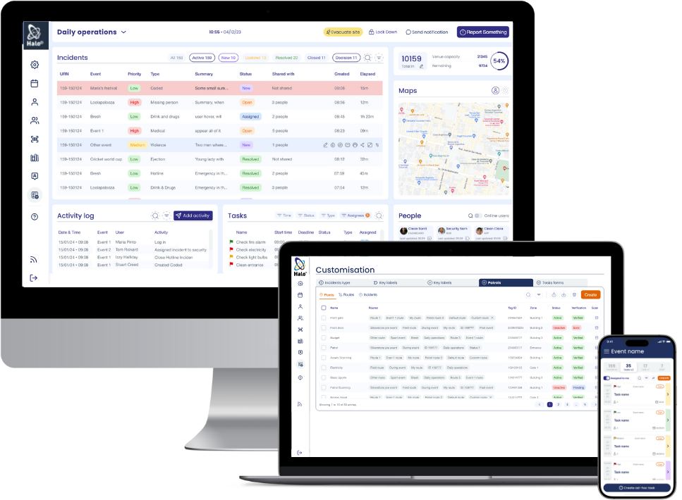
TOTAL VISUAL COMMAND
Bring your operations to life on-screen with map-based dashboards, live user tracking, and CAD overlays that give control rooms and safety teams the full picture.
CUSTOMISABLE ENVIRONMENTS
Set up to 20 custom geofences and dynamic overlays to match your site, venue, or event, no matter the scale or complexity.
INCREASED INCIDENT INTELLIGENCE
Tag, share and filter incident reports by precise location, streamlining investigations, reports, and coordinated response.
AUTOMATIC LOCATION TAGGING
Empower end users to share their live location, improving visibility and coordination for publicly-reported issues.
Key Features

- CAD overlays for site-specific accuracy
- Mapbox plugin for smooth, reliable mapping
- Custom geofence overlays
- User location sharing
- Automated pin-drop on incident reports
- Share and filter by location
Explore HaloLocate For...
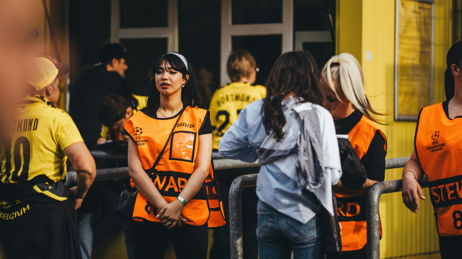
VENUES & ARENAS
Track incidents by zone, deploy responders based on live location, and geofence crowd flow areas for better oversight.
Learn More
UNIVERSITIES
Monitor patrol coverage, overlay your estate plan, and build spatial insights for facilities, security, and emergency planning.
Learn More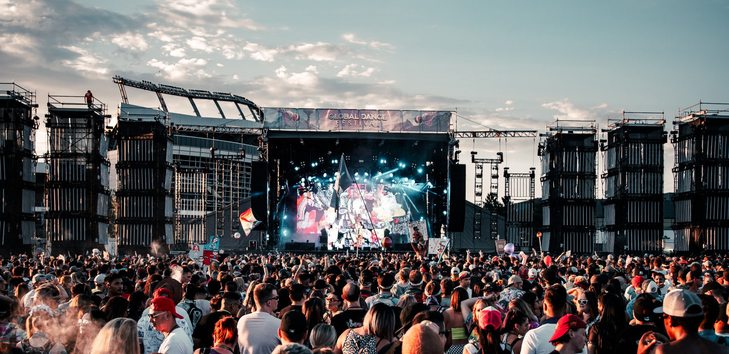
FESTIVALS & EVENTS
Share live team locations, filter incidents by sector or area, and monitor tasks across geofenced zones.
Learn More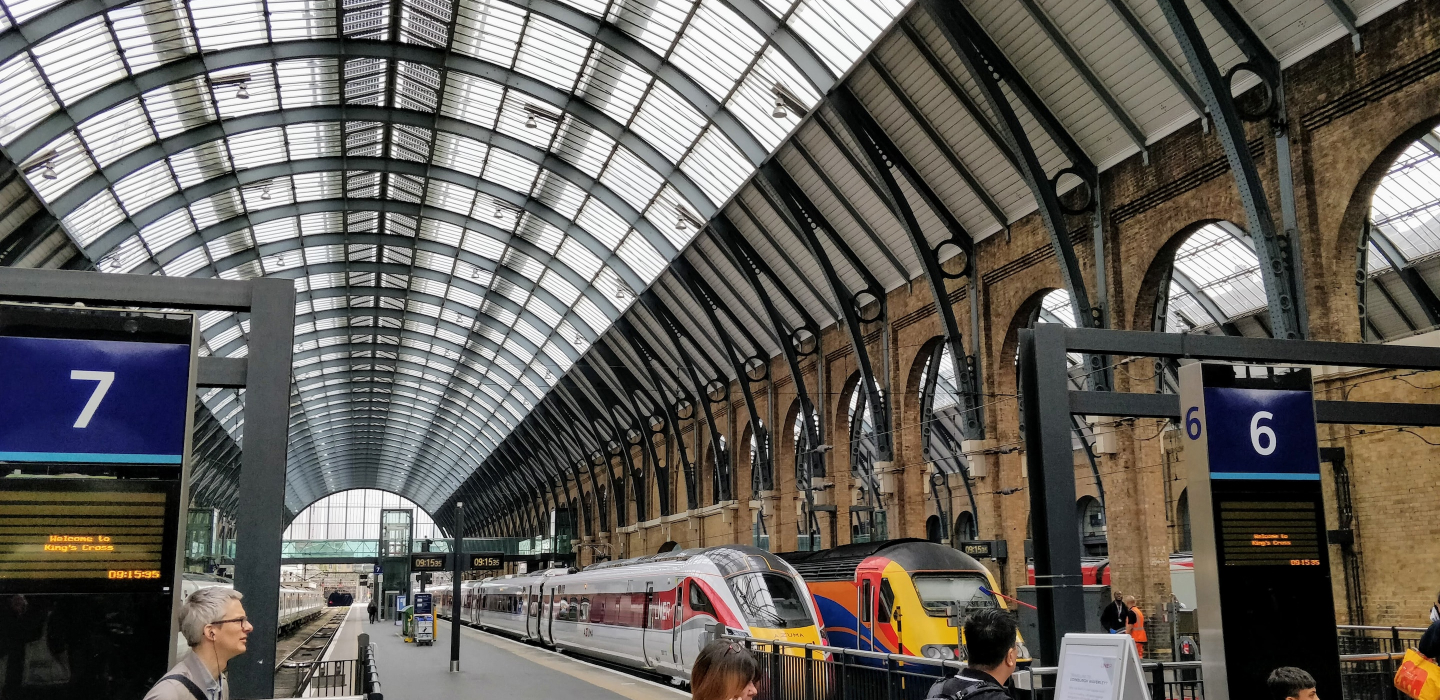
TRANSPORT HUBS
Use CAD overlays to visualise station layouts, track mobile teams, and optimise response across high-traffic areas.
Learn More"With Halo, this is the first time we have achieved absolute shared situational awareness across all stakeholders"– David Boyle, Chief Superintendent & Gold Commander

Get The Full Picture with HaloLocate
With HaloLocate, you don’t just track — you take control